
Next week, a team of students and faculty members from Central New Mexico Community College (CNM) will join scientists on a project to document, map and model one of the largest dinosaur tracksites in the United States.
Hundreds of tracks, from at least four different species of dinosaurs, are exposed at the Clayton Lake State Park in northeastern New Mexico. The CNM team will work with officials from the New Mexico Museum of Natural History & Science (NMMNHS) and the New Mexico State Parks Department to photograph, scan, map and model the exposed dinosaur tracks.
“This project is applying high technology to the documentation of ancient dinosaur trace fossils,” says Rick Watson, part-time faculty member in CNM’s School of Applied Technologies. “We are very fortunate to have something practical and interesting for our students to work on.”
The goal of the project is to provide an updated record of the tracks, their relationships and state of preservation at a variety of scales suitable for scientific analysis, education, public exploration and site preservation.
Students from myriad programs
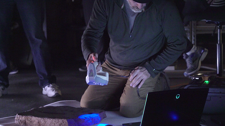
Students in CNM’s unmanned aircraft systems, geographic information technology, and Earth and planetary science programs will use photogrammetry (the science of taking measurements from photos), high-resolution structured light scanning and lidar scanning to record and map the dinosaur tracks. Then 3D models of the tracks will be produced at highly precise rates. Few, if any, dinosaur tracksites have benefited from such a wide range of recording technologies, according to NMMNHS.
Students are learning how to use and integrate these technologies in practical and diverse ways that will suit them in many career fields, Watson says.
“The students are gaining experience using these technologies and the reality is that these technologies are used for many other purposes,” he says. “In the future and even today, we are seeing the application of these technologies in everything from developing small machine tools to developing modern jet aircraft engine components.”
CNM student Melody “Melo” King, who is studying unmanned aircraft systems, says that she’s excited to be a part of the project and looks forward to developing the ground control GPS points for the entire project. She says that getting to apply what she’s learned to a tangible project is very beneficial.
“I’m already taking some of the techniques I’ve learned here and using them in my job as a self-employed cartographic engineer,” King says.
The final products for the project will appear in a scientific journal and will be used to develop a website about the dinosaur tracksite at Clayton Lake.
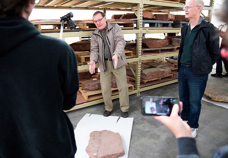
CNM professor Rick Watson explains how to properly position cameras over trace fossil samples.